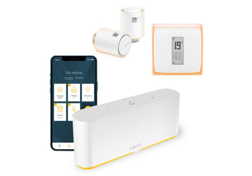
Netatmos smarte termostat og radiatortermostat er nå kompatible med Somfy TaHoma Switch
When we talk about the weather it mostly involves the temperature, the humidity level and measuring rain intensity. However, there's another important piece of data that affects weather forecasts and is used to predict both temperature changes and wind speed: atmospheric pressure. It's complicated to measure this pressure and the mechanism through which it influences the weather. Below are a few pointers to help you understand what atmospheric pressure is, how to measure it and how it's important in meteorology.

In science, atmospheric pressure is the weight that the air exerts on the Earth's atmosphere. When we talk about atmospheric pressure we're therefore talking about the pressure exerted at a given point by an air column going from the ground at this point to the top of the atmosphere.
This is why the higher the altitude is, the lower the pressure: because the amount of air is smaller, the atmospheric pressure is less. At sea level, the average pressure is 1,013.25 hPa and it's thought that atmospheric pressure falls by 1 hPa every 8 metres above that point on average. Altitude therefore always needs to be taken into account when we talk about atmospheric pressure.
Atmospheric pressure is measured in pascals (Pa), or more accurately in hectopascals (hPa), i.e. the equivalent of 100 pascals or 1 millibar, the measurement previously used. It's measured using an instrument called a barometer. The first devices date from 1644 and the experiments of Evangelista Torricelli, who developed the mercury barometer.
Today there are many different types of barometers for measuring atmospheric pressure. Mercury barometers are now rare because they contain mercury, which can be dangerous. Meanwhile, aneroid barometers contain a capsule that deforms according to the atmospheric pressure. There are also digital display barometers that have a dial, and barographs, which transpose pressure changes onto graph paper or a screen (on digital versions).
Because altitude affects the atmospheric pressure measured, to be able to utilise the data recorded and compare figures it's important to consider them at sea level. Barometers are therefore calibrated to indicate the pressure at sea level, i.e. the value as it would be measured if the device were at zero altitude. This allows pressure to be analysed irrespective of the altitude at which it is recorded.
A weather station can also be used to measure atmospheric pressure. Equipped with a pressure sensor, this device can indicate the pressure level at zero altitude. This information is useful for weather professionals and amateurs to analyse pressure changes over time and establish weather forecasts.
In meteorology it's important to know the atmospheric pressure and its variations. This is why weather stations have a barometer and measure pressure, as well as recording the external temperature using a thermometer, relative humidity and absolute humidity using a hygrometer and wind speed using a wind gauge. These three sensors are essential for establishing comprehensive and reliable weather forecasts.
Observing pressure provides an important indicator: in temperate areas the pressure is between 950 hPa and 1,050 hPa on average, although it can change very quickly. Generally speaking, a rapid fall in atmospheric pressure indicates bad weather (precipitation and wind), while high pressure indicates stable and generally pleasant weather with clear skies. When the pressure is low, below 1,010 hPa, this is referred to as a depression or low-pressure conditions. Meanwhile, when the pressure exceeds 1,020 hPa this is referred to as an anticyclone or anticyclonic conditions.
Weather professionals therefore monitor temperature changes as closely as atmospheric pressure changes. Not only does measuring pressure indicate the general short-term trend, recording pressure on a larger scale allows us to establish atmospheric pressure maps. This type of map, also called an isobaric map or weather front map, shows lines of equal pressure, known in meteorology as "isobars". These maps allow meteorologists to track event centres (anticyclones or depressions).
Because pressure differences between two points (horizontal pressure gradient) cause the displacement of air at altitude, pressure maps are used to determine wind direction as well as speed. Put simply, wind is a consequence of air being displaced from an area of high pressure to an area of low pressure. The closer together isobars are on a map, the higher the wind speed is.
Identifying areas of similar pressure on a map can also highlight fronts, i.e. areas where air masses with different characteristics (whether in terms of pressure, temperature or humidity) meet. There are warm fronts, cold fronts, occluded fronts, stationary fronts and instability lines. All of this data is used to prepare medium-term weather forecasts.
Knowing the atmospheric pressure is therefore essential for forecasting the weather and its future variations, and is very useful alongside recordings of the temperature and ambient humidity. As such, local information is supplemented by more global data that allows us to understand weather changes and predict future weather. Aside from meteorologists, many people can benefit from determining the atmospheric pressure or consulting pressure maps or a weather station. For example, sailors and aviation enthusiasts usually have the right equipment to obtain reliable forecasts, as the weather largely determines the conditions they'll be dealing with.